Urban mobility faces a common challenge in many Mexican cities: the lack of up-to-date and centralised public transportation data. This lack of information limits the ability of authorities to plan, coordinate, and improve services, and affects millions of people who depend daily on reliable routes, schedules, and connections.
In response to this situation, in late November 2025, State of Mexico made significant progress by further digitising transportation route information for the metropolitan area of the Toluca Valley and Jilotepec and launching the “Rutómetro” mobile application. These tools will transform how authorities and citizens access and manage transportation information.
These achievements result from a collaborative effort between State of Mexico’s Ministry of Mobility (SEMOV) and the MapaData initiative, comprised of the Trufi Association, Codeando México, the Humanitarian OpenStreetMap Team (HOT), GIZ in Mexico, and municipal authorities such as the Jilotepec City Council. During 15 months of continuous work since 2024 route information in the Toluca Valley and the municipality of Jilotepec was processed, corrected, validated and digitised, integrating a total of 622 routes in Toluca and 63 routes in Jilotepec. The data is now accessible for download, consultation and use by mobility platforms.
Technical support from the MapaData initiative strengthened local skills through workshops, training sessions, working groups, and collaborative processes with students from the Faculty of Geography at the Autonomous University of the State of Mexico (UAEMex), technical teams from the Ministry of Mobility (SEMOV), and municipal authorities.

The GTFS (General Transport Feed Specification) is a standardised format that allows public transportation agencies to publish their transit data. This data can be used to improve transportation management through software applications, especially those dedicated to trip planning. Users can easily and conveniently access information on routes, fares, schedules, and vehicle locations, and receive alerts about arrival times or service disruptions using smart devices.
The activities carried out for the development of GTFS were:

This process complements efforts undertaken by the MapaData initiative and GIZ Mexico in other cities such as Oaxaca, Puerto Escondido, and Salina Cruz, in the state of Oaxaca, consolidating a growing network of territories that are committed to digitisation as a foundation for improving mobility in Mexico.
For GIZ Mexico, advancing the digitisation of public transportation is not just a technological project, but a key strategy for decarbonisation, transparency, and improved public management. Moreover, they highlight the benefits resulting from this valuable process, such as promoting an open and interoperable data agenda, better transportation route planning, a larger mapping database, and greater capacity for transportation authorities.
The case of the municipality of Jilotepec stands out, as it replicated the entire GTFS digitisation process, which was added to the “Rutómetro” app. Furthermore, it created its own mobility map, “JiloSeMueve,” becoming a benchmark for other municipalities in the State of Mexico that have not yet adopted these measures.

Among the main results are:
The Ministry of Mobility of the State of Mexico is now committed to scaling this best practice to other areas of the state, with the goal of building a metropolitan GTFS interoperable with Mexico City and strengthening a broad open data strategy for mobility. This initiative has not only focused on Toluca and Jilotepec, but also encompasses other municipalities in the estate of Oaxaca, with an estimated total coverage of 1,130,756 people benefiting from the creation of 856 routes in GTFS format.
The next steps include: (1) campaigns to promote the use of the Rutómetro app, (2) continuous updating and maintenance of the data by designated authorities, (3) institutional coordination with transport operators, (4) expansion of intermunicipal coverage, (5) promoting the use of open data by state and municipal governments, and (6) replicating the model by strengthening local capacities.
This project not only modernises internal processes but also paves the way for a new approach to managing public transportation: more transparent, more accessible, and evidence based. With the publication of the first public GTFS (Global Transportation System File) and the launch of the Rutómetro app, Toluca, Jilotepec, and municipalities in Oaxaca join the growing group of Mexican cities that place data at the heart of the solution.
This work was carried out within the framework of the project “Transition towards an Integrated, Accessible and Smart Public Transport System in Mexico (TranSIT))”, implemented by GIZ in Mexico, commissioned by the Federal Ministry for Economic Cooperation and Development (BMZ).
Transition Towards an Integrated, Accessible and Smart Public Transport System in Mexico (TranSIT) supports the development and implementation of efficient, inclusive and intelligent public transport solutions, working closely with the mobility and transport authorities, the private sector, NGOs, civil society, and academia on state and subnational level. It works on behalf of the Federal Ministry for Economic Cooperation and Development (BMZ).
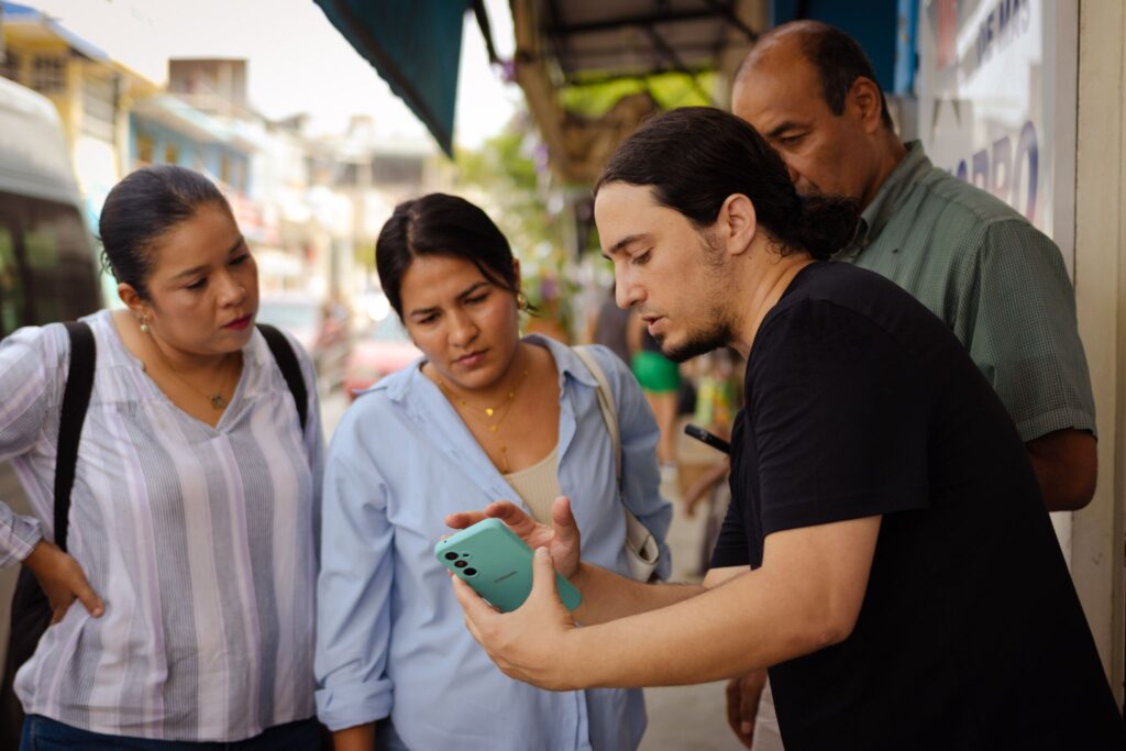
The new app Rutómetro helps citizens to move through their city and state by providing real-time data. | © Donobelo

José Manuel Landin
jose.landin@giz.de
Visit profile